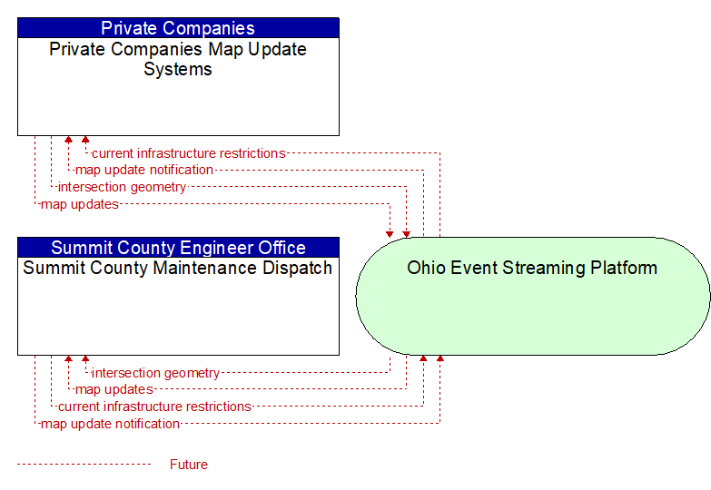
Interface: Summit County Maintenance Dispatch - Private Companies Map Update Systems
Information Flow Definitions
current infrastructure restrictions (Future) Selected Comm Solution
Restrictions levied on transportation asset usage based on infrastructure design, surveys, tests, or analyses. This includes standard facility design height, width, and weight restrictions, special restrictions such as spring weight restrictions, and temporary facility restrictions that are imposed during maintenance and construction.
intersection geometry (Future) Selected Comm Solution
The physical geometry of an intersection covering the location and width of each approaching lane, egress lane, and valid paths between approaches and egresses. This flow also defines the location of stop lines, cross walks, specific traffic law restrictions for the intersection (e.g., turning movement restrictions), and other elements that support calculation of a safe and legal vehicle path through the intersection.
map update notification (Future) Selected Comm Solution
Notification of maintenance, construction, and other activities that will result in medium to long term changes to road location and configuration that may impact navigable maps. This flow includes the timing of the changes and precise enumeration of the location and configuration changes. It also includes updated static speed limits (perhaps other regulatory rules/signage – no U turns, etc.) and default travel times.
map updates (Future) Selected Comm Solution
Map update that could include a new underlying static or real–time map or map layer(s) update. Map layers can include highways, major roads, streets, public transport routes, pedestrian routes, topography, points of interest, and regulatory information including turn restrictions and speed limits.