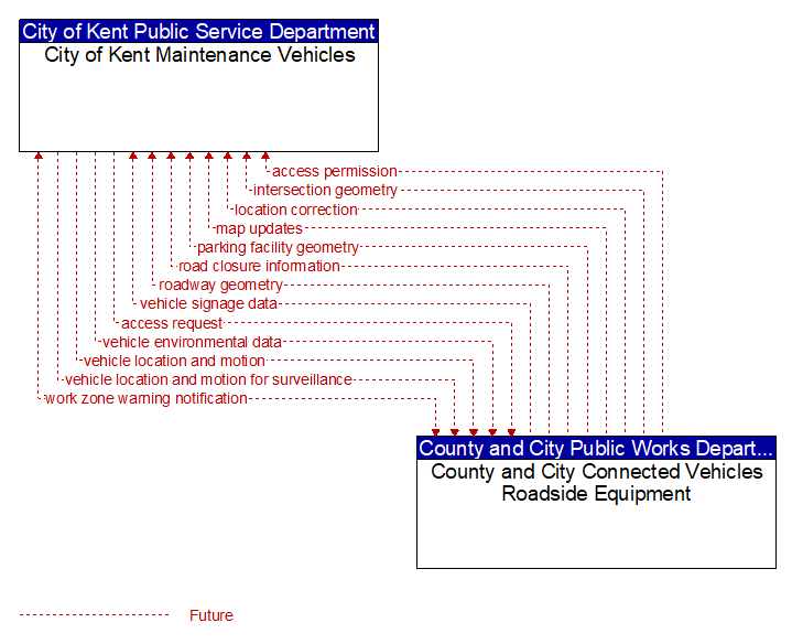
Interface: City of Kent Maintenance Vehicles - County and City Connected Vehicles Roadside Equipment
Information Flow Definitions
access permission (Future) Selected Comm Solution
Information returned indicating whether permission for access is granted and instructions for proceeding.
access request (Future) Selected Comm Solution
Request for access to an access–controlled transportation facility.
intersection geometry (Future) Selected Comm Solution
The physical geometry of an intersection covering the location and width of each approaching lane, egress lane, and valid paths between approaches and egresses. This flow also defines the location of stop lines, cross walks, specific traffic law restrictions for the intersection (e.g., turning movement restrictions), and other elements that support calculation of a safe and legal vehicle path through the intersection.
location correction (Future)
Information provided to improve positional accuracy. These corrections allow a mobile GPS receiver, such as a GPS system in a connected vehicle, to achieve a
greater absolute positional accuracy, compensating for errors that exist in satellite positioning.
map updates (Future) Selected Comm Solution
Map update that could include a new underlying static or real–time map or map layer(s) update. Map layers can include highways, major roads, streets, public transport routes, pedestrian routes, topography, points of interest, and regulatory information including turn restrictions and speed limits.
parking facility geometry (Future) Selected Comm Solution
Precise spatial description of a parking facility that locates each parking space and the ingress and egress routes that are used to travel to and from the spaces.
road closure information (Future) Selected Comm Solution
Road closure information provided to passing vehicles. This flow provides information about the road closure with diversion information.
roadway geometry (Future) Selected Comm Solution
The physical geometry of a road segment that specifies the location and width of each lane, including normal lanes as well as special lanes for pedestrians and bicycles, transit vehicles, and trains. This flow also may include the curvature, grade, and superelevation or banking of the road segment.
vehicle environmental data (Future) Selected Comm Solution
Data from vehicle safety and convenience systems that can be used to estimate environmental and infrastructure conditions, including measured air temperature, exterior light status, wiper status, sun sensor status, rain sensor status, traction control status, anti–lock brake status, vertical acceleration and other collected vehicle system status and sensor information. The collected data is reported along with the location, heading, and time that the data was collected. Both current data and snapshots of recent events (e.g., traction control or anti–lock brake system activations) may be reported.
vehicle location and motion (Future) Selected Comm Solution
Data describing the vehicle's location in three dimensions, heading, speed, acceleration, braking status, and size.
vehicle location and motion for surveillance (Future) Selected Comm Solution
Data describing the vehicle's location in three dimensions, heading, speed, acceleration, braking status, and size. This flow represents monitoring of basic safety data ('vehicle location and motion') broadcast by passing connected vehicles for use in vehicle detection and traffic monitoring applications.
vehicle signage data (Future) Selected Comm Solution
In–vehicle signing data that augments regulatory, warning, and informational road signs and signals. The information provided would include static sign information (e.g., stop, curve warning, guide signs, service signs, and directional signs) and dynamic information (e.g., local traffic and road conditions, lane restrictions, work zones, detours, closures, advisories, and warnings).
work zone warning notification (Future) Selected Comm Solution
Notification of a work zone emergency or safety issue. This flow identifies that a work zone emergency or safety issue has occurred so that warnings may be generated by more than one system in the work zone.