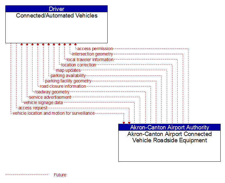
Interface: Connected/Automated Vehicles - Akron-Canton Airport Connected Vehicle Roadside Equipment
Information Flow Definitions
access permission (Future) Selected Comm Solution
Information returned indicating whether permission for access is granted and instructions for proceeding.
access request (Future) Selected Comm Solution
Request for access to an access–controlled transportation facility.
intersection geometry (Future) Selected Comm Solution
The physical geometry of an intersection covering the location and width of each approaching lane, egress lane, and valid paths between approaches and egresses. This flow also defines the location of stop lines, cross walks, specific traffic law restrictions for the intersection (e.g., turning movement restrictions), and other elements that support calculation of a safe and legal vehicle path through the intersection.
local traveler information (Future) Selected Comm Solution
Traveler information including traffic, road, and weather conditions for a particular locality. This flow includes the location–specific traveler information and time effectivity of the information.
location correction (Future)
Information provided to improve positional accuracy. These corrections allow a mobile GPS receiver, such as a GPS system in a connected vehicle, to achieve a
greater absolute positional accuracy, compensating for errors that exist in satellite positioning.
map updates (Future) Selected Comm Solution
Map update that could include a new underlying static or real–time map or map layer(s) update. Map layers can include highways, major roads, streets, public transport routes, pedestrian routes, topography, points of interest, and regulatory information including turn restrictions and speed limits.
parking availability (Future) Selected Comm Solution
Information on available parking. This flow identifies available spaces with associated information about parking restrictions and location for each available space. Specifically includes information on parking for commercial vehicles, coaches/buses, and cars – and likely also motorcycles, electric vehicle plugins, etc.
parking facility geometry (Future) Selected Comm Solution
Precise spatial description of a parking facility that locates each parking space and the ingress and egress routes that are used to travel to and from the spaces.
road closure information (Future) Selected Comm Solution
Road closure information provided to passing vehicles. This flow provides information about the road closure with diversion information.
roadway geometry (Future) Selected Comm Solution
The physical geometry of a road segment that specifies the location and width of each lane, including normal lanes as well as special lanes for pedestrians and bicycles, transit vehicles, and trains. This flow also may include the curvature, grade, and superelevation or banking of the road segment.
service advertisement (Future) Selected Comm Solution
An advertisement of available services and identification of how those services may be accessed (e.g., RF parameters, identifiers, etc.). Services include network services such as IPv6 routing, public roadside services such as intersection safety, back office services including situation data services and security credentials, or private services.
vehicle location and motion for surveillance (Future) Selected Comm Solution
Data describing the vehicle's location in three dimensions, heading, speed, acceleration, braking status, and size. This flow represents monitoring of basic safety data ('vehicle location and motion') broadcast by passing connected vehicles for use in vehicle detection and traffic monitoring applications.
vehicle signage data (Future) Selected Comm Solution
In–vehicle signing data that augments regulatory, warning, and informational road signs and signals. The information provided would include static sign information (e.g., stop, curve warning, guide signs, service signs, and directional signs) and dynamic information (e.g., local traffic and road conditions, lane restrictions, work zones, detours, closures, advisories, and warnings).