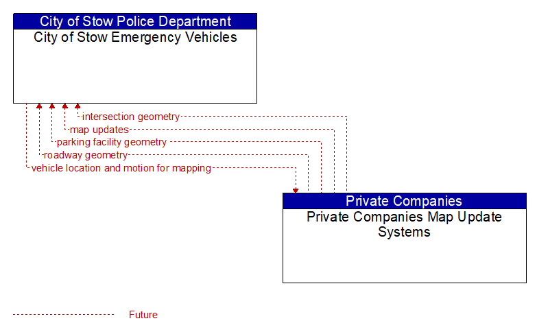
Interface: City of Stow Emergency Vehicles - Private Companies Map Update Systems
Information Flow Definitions
intersection geometry (Future) Selected Comm Solution
The physical geometry of an intersection covering the location and width of each approaching lane, egress lane, and valid paths between approaches and egresses. This flow also defines the location of stop lines, cross walks, specific traffic law restrictions for the intersection (e.g., turning movement restrictions), and other elements that support calculation of a safe and legal vehicle path through the intersection.
map updates (Future) Selected Comm Solution
Map update that could include a new underlying static or real–time map or map layer(s) update. Map layers can include highways, major roads, streets, public transport routes, pedestrian routes, topography, points of interest, and regulatory information including turn restrictions and speed limits.
parking facility geometry (Future) Selected Comm Solution
Precise spatial description of a parking facility that locates each parking space and the ingress and egress routes that are used to travel to and from the spaces.
roadway geometry (Future) Selected Comm Solution
The physical geometry of a road segment that specifies the location and width of each lane, including normal lanes as well as special lanes for pedestrians and bicycles, transit vehicles, and trains. This flow also may include the curvature, grade, and superelevation or banking of the road segment.
vehicle location and motion for mapping (Future) Selected Comm Solution
Vehicles may provide location and motion data independently using wide–area wireless communications to application/service providers who use the provided data to update their maps and maintain real–time traffic and road conditions information sourced from their client–base.