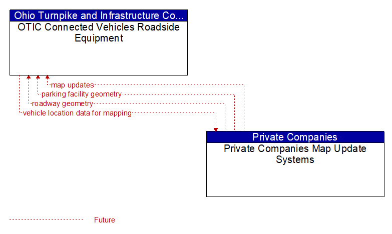
Interface: OTIC Connected Vehicles Roadside Equipment - Private Companies Map Update Systems
Information Flow Definitions
map updates (Future) Selected Comm Solution
Map update that could include a new underlying static or real–time map or map layer(s) update. Map layers can include highways, major roads, streets, public transport routes, pedestrian routes, topography, points of interest, and regulatory information including turn restrictions and speed limits.
parking facility geometry (Future) Selected Comm Solution
Precise spatial description of a parking facility that locates each parking space and the ingress and egress routes that are used to travel to and from the spaces.
roadway geometry (Future) Selected Comm Solution
The physical geometry of a road segment that specifies the location and width of each lane, including normal lanes as well as special lanes for pedestrians and bicycles, transit vehicles, and trains. This flow also may include the curvature, grade, and superelevation or banking of the road segment.
vehicle location data for mapping (Future) Selected Comm Solution
Aggregate vehicle location data collected to support map data creation and refinement.