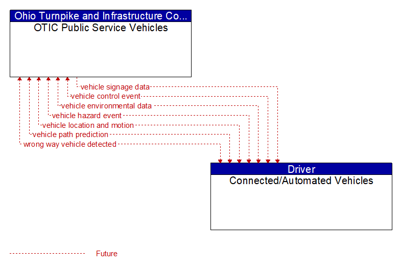
Interface: OTIC Public Service Vehicles - Connected/Automated Vehicles
Information Flow Definitions
vehicle control event (Future) Selected Comm Solution
Notification that the vehicle has performed an emergency maneuver or action that could impact the safety of surrounding vehicles. This includes hard braking and activation of traction/stability control systems or other actions that warrant immediate notification of surrounding vehicles. The information flow conveys the current vehicle location, path, and current control actions. This may also include the list of maneuvers includes lane changes/departures and overtaking/passing maneuvers.
vehicle environmental data (Future) Selected Comm Solution
Data from vehicle safety and convenience systems that can be used to estimate environmental and infrastructure conditions, including measured air temperature, exterior light status, wiper status, sun sensor status, rain sensor status, traction control status, anti–lock brake status, vertical acceleration and other collected vehicle system status and sensor information. The collected data is reported along with the location, heading, and time that the data was collected. Both current data and snapshots of recent events (e.g., traction control or anti–lock brake system activations) may be reported.
vehicle hazard event (Future) Selected Comm Solution
Notification of a potential hazard that is detected by the vehicle, including hazards posed by the vehicle itself. Self–reported hazards include notification that the vehicle is being operated in an unsafe manner or is stopped in the travel lanes or on the shoulder. Detected hazards include unequipped vehicles operating unsafely, traffic queues, and foreign objects (people, animals, debris, other obstacles) in the travel lanes. It includes vehicle location and status, path, current control actions, and additional information on the detected hazard, if applicable. This includes vehicles making excessive lane changes or traveling at excessive speeds, maintaining less than minimum headways, and wrong way vehicles. For wrong–way vehicles, this flow also passes information about detected unequipped wrong–way vehicles.
vehicle location and motion (Future) Selected Comm Solution
Data describing the vehicle's location in three dimensions, heading, speed, acceleration, braking status, and size.
vehicle path prediction (Future) Selected Comm Solution
The predicted future vehicle path of travel. This flow includes an indication of the future positions of the transmitting vehicle that can be used by receiving vehicles to support coordinated driving maneuvers and enhance in–lane and out–of–lane threat classification.
vehicle signage data (Future) Selected Comm Solution
In–vehicle signing data that augments regulatory, warning, and informational road signs and signals. The information provided would include static sign information (e.g., stop, curve warning, guide signs, service signs, and directional signs) and dynamic information (e.g., local traffic and road conditions, lane restrictions, work zones, detours, closures, advisories, and warnings).
wrong way vehicle detected (Future) Selected Comm Solution
Notification that a vehicle has been detected traveling in the wrong direction. This can be a direct report by an equipped vehicle that is being driven in the wrong direction or a report of a non–equipped vehicle that has been detected traveling in the wrong direction. It includes the current location, speed, acceleration, and heading of the wrong way vehicle.